DMNATIVE

Posts 0 Comments 29

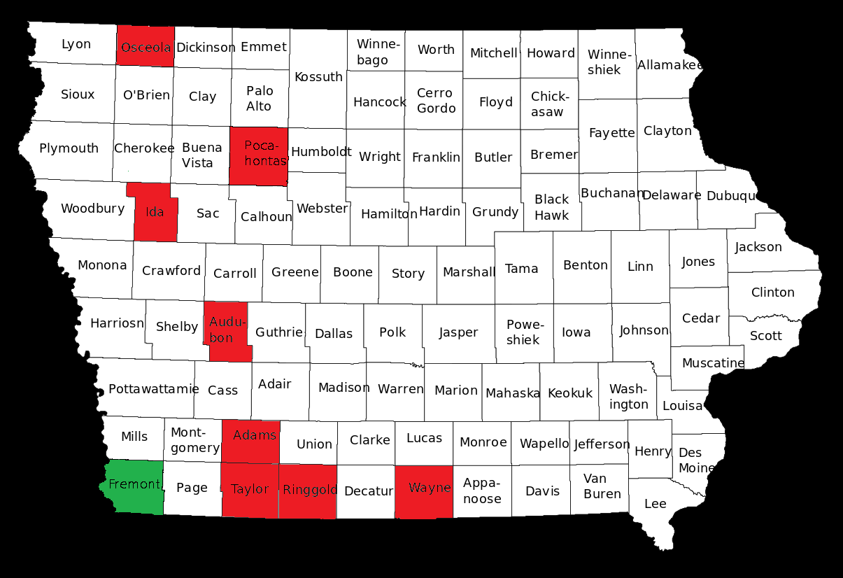
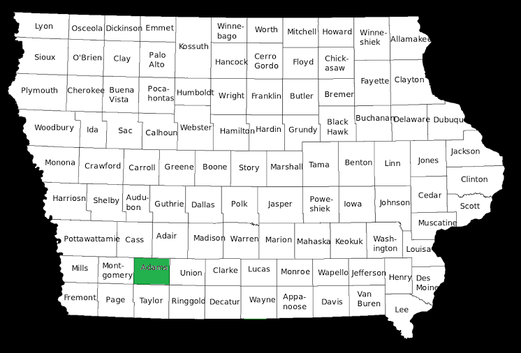
Fremont County, the southwest corner of Iowa. Number 9 in population

The series continues. Click here for earlier installments. -promoted by desmoinesdem

This week I will review our ninth-smallest county in terms of population, Fremont County. The 2010 census found 7,441 people living in the entire 517 square miles of the county, the 34th largest in Iowa. To put this in perspective, Fremont County is roughly equal in population to the city of Knoxville (Marion County).

Fremont County is southwest of Des Moines; it is located the extreme southwest corner of Iowa. According to Google Maps, the county seat of Fremont County, Fremont, is 166 road miles from the Iowa State Capitol building in Des Moines.

Fremont County was founded in 1847 when it was formed from Pottawattamie County. The county was named after the John C. Fremont, the early American Explorer.

The highest population in Fremont County (18,546) was in the 1900 census. The county has lost population in every census since that time, and in 2010 had roughly half the population that it had in 1940.

Continue Reading...

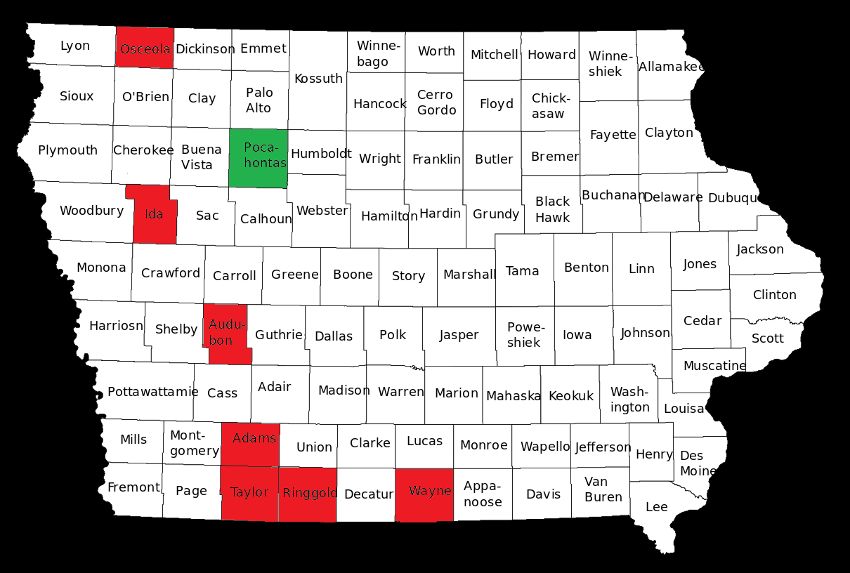
We remain in Northwest Iowa for our 8th visit, to Pocahontas County

The 99-part series continues. You can find previous installments here. -promoted by desmoinesdem

This week I will review our eighth-smallest county in terms of population, Pocahontas County. The 2010 census found 7,310 people living in the entire 579 square miles of the county, the 32nd largest in Iowa. To put this in perspective, Pocahontas County is roughly equal in population to the city of Knoxville (Marion County). Pocahontas County is northwest of Des Moines. According to Google Maps, the county seat of Pocahontas County, Pocahontas, is 136 road miles from the Iowa State Capitol building in Des Moines.

Pocahontas County was founded in 1851 when it was formed from Greene and Humbolt Counties. The county was named after the Native American princess Pocahontas from Jamestown, Virginia.

In a bit of a different trend from our first counties, the highest population in Pocahontas County (16,266) was in the 1940 census. Pocahontas County has lost population in every census since that time, and in 2010 had roughly half the population that it had in 1960.

Continue Reading...

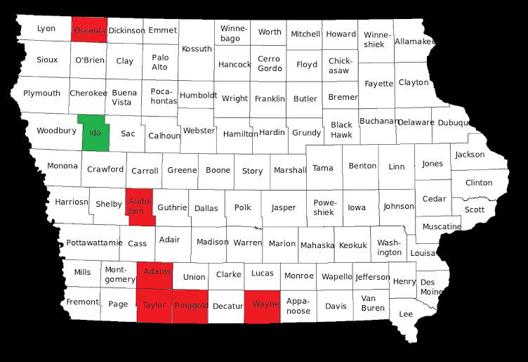
Now we visit Ida County, the 7th smallest in Iowa

The previous six installments in this planned 99-part series are available here. -promoted by desmoinesdem

This week I will review our seventh-smallest county in terms of population, Ida County. The 2010 census found 7,089 people living in the entire 432 square miles of the county, the 14th smallest in Iowa. To put this in perspective, Ida County is roughly equal in population to the city of Hiawatha (Linn County). Ida County is north west of Des Moines. According to Google Maps, the county seat of Ida County, Ida Grove, is 139 road miles from the Iowa State Capitol building in Des Moines.

Ida County was founded in 1851 when it was separated from Greene County. The county was most likely named after Ida Smith, the first person of European ancestry to be born in the county.

Continue Reading...

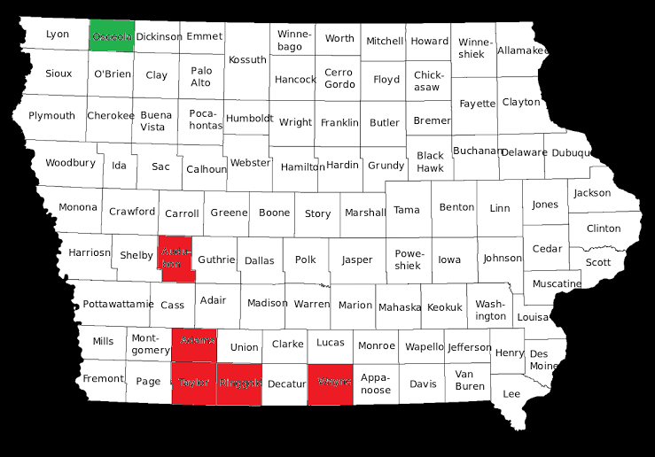
Our first trip to Northern Iowa- County number 6, Osceola County

The series continues; previous installments are here. -promoted by desmoinesdem

This week I will review our sixth-smallest county in terms of population, Osceola County. The 2010 census found 6,462 people living in the entire 399 square miles, the 3rd smallest in Iowa. To put this in perspective, Osceola County is roughly equal in population to the city of Oelwein (Fayette County).

Osceola County is north and just a bit west of Des Moines, bordering Minnesota on its north border. The highest point in Iowa, Hawkeye Point is located within the county. According to Google Maps, the county seat of Osceola County, Sibley, is 236.1 road miles from the Iowa State Capitol building in Des Moines. Osceola County was founded in 1871 when it was separated from Woodbury County, and was the last county established in Iowa. The county was named after the Seminole chief Osceola.

Continue Reading...

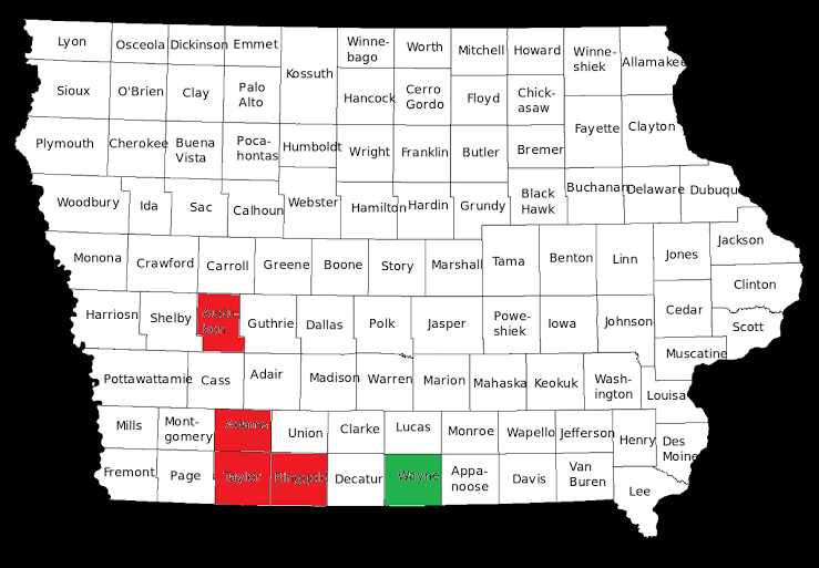
Another Southern Iowa Red County- Wayne County (5/99)

Continuing a 99-part series. Previous installments are here. -promoted by desmoinesdem

This week I will review our fifth-smallest county in terms of population, Wayne County. The 2010 census found 6,403 people living in the entire 527 square miles (34th smallest) that are within Wayne County. To put this in perspective, it is roughly equal to population with the city of Oelwein. Wayne County is south and just a bit east of Des Moines. According to Google Maps, the county seat of Wayne County, Corydon, is 70.5 road miles from the Iowa State Capitol building in Des Moines. Wayne County was founded in 1846 from Appanoose County and was named after Revolutionary War General Anthony Wayne.

As we’ve seen as another trend in these first five rural counties, the highest population in the county of 17,491 was in the 1900 census. Wayne County has lost population in every census since that time.

Continue Reading...

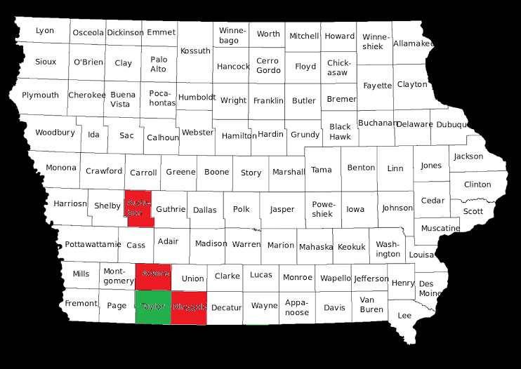
Number 4 of 99: Taylor County

Previous installments in this series can be found here. -promoted by desmoinesdem

This week I will review our fourth-smallest county in terms of population, Taylor County. The 2010 census found 6,317 people living in the entire 532 square miles (36th smallest) that are within Taylor County. Taylor County is south and west of Des Moines. It borders on two of the other sparsely populated counties we have already reviewed, Adams and Ringgold.

According to Google Maps, the county seat of Taylor County, Bedford, is 115 road miles from the Iowa State Capitol building in Des Moines. Taylor County was founded in 1847 when it was separated from Page County and was named after General (and soon to be president) Zachary Taylor.

Continue Reading...

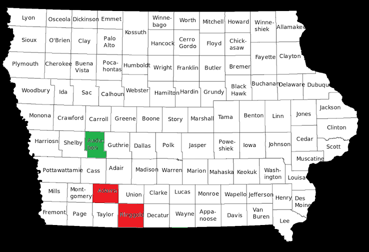
Up Next- Audubon County (3/99)

Continuing a 99-part series. You can find previous entries here. -promoted by desmoinesdem

This week I will review our third-smallest county in terms of population, Audubon County.

The 2010 census found 6,119 people living in the entire 443 square miles (22nd smallest) that are within Audubon County. Audubon County is directly west of Des Moines. According to Google Maps, the county seat of Audubon County, Audubon, is 84.8 road miles from the Iowa State Capitol building in Des Moines.

Audubon County was founded in 1851 when it was split from Pottawattamie County. And yes, it was named after John James Audubon. The highest population in the county was 13,626 in the 1900 census. Audubon County has lost population in every census since that time. The racial makeup of the county was 99.17 percent white, 0.15 percent Black or African-American, 0.09 percent Native American, 0.19 percent Asian, 0.03 percent from other races, and 0.38 percent from two or more races. 0.48 percent of the population were Hispanic or Latino of any race.

Continue Reading...

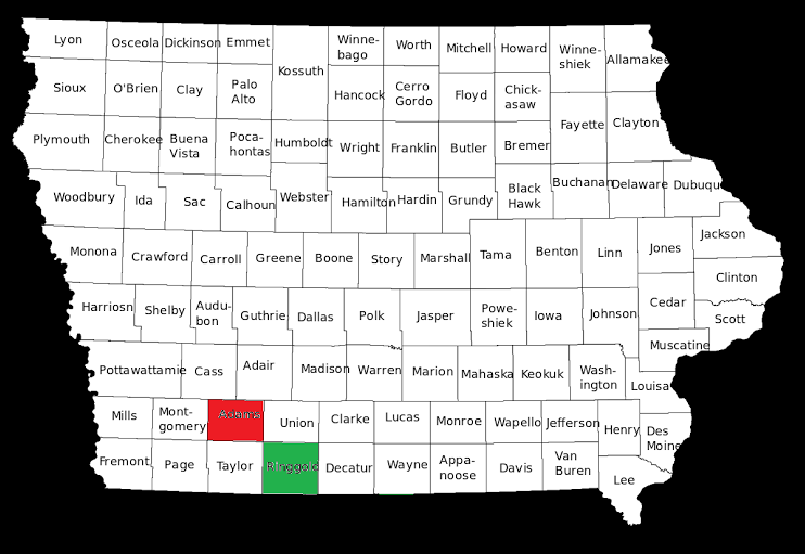
Next we visit Ringgold County, Iowa

Part 2 in a planned 99-part series profiling each of Iowa’s counties before the 2018 general election. Last week’s post on Adams County is here. -promoted by desmoinesdem

This week I will review our second smallest county in terms of population, Ringgold County.

The 2010 census found 5,131 people living in the entire 539 square miles that are within Ringgold County. Ringgold County is located south and west of Des Moines. According to Google Maps, the county seat of Ringgold County, Mounty Ayr, is 89.2 road miles from the Iowa State Capitol building in Des Moines. Ringgold County was founded in 1847 when it was split from Des Moines County. The highest population in the county was 15,325 in the 1900 census. Ringgold County has lost population in every census since that time except for less than 1% increases from the previous census in the 1920 and 2000 censuses.

The racial makeup of the county in the 2010 census was 99.07% White, 0.11% Black or African American, 0.22% Native American, 0.16% Asian, 0.02% from other races, and 0.42% from two or more races. 0.24% of the population were Hispanic or Latino of any race. An extremely non-diverse county in terms of race.

14.3 percent of the population live in households with income at or below the poverty level. The per capita income was estimated at $29,468 which ranks 93rd of 99 in counties in Iowa. Ringgold County had the 12th lowest unemployment rate in 2010, 4.7%. (As of November 2016 the unemployment rate was 2.7%.) In terms of educational attainment, Ringgold County has the 21st highest rate of residents having received a bachelors degree or higher, 20.8 percent.

Ringgold County is currently a part of the 3rd congressional district, represented by David Young-R since 2015. Currently Ringgold County is a part of the 12th District in the Iowa Senate represented by Mark Costello-R and part of the 24th District in the Iowa House of Representatives represented by Cecile Dolecheck-R.

Recent election results are after the jump.

Continue Reading...

Our tour of the 99 counties of Iowa starts in Adams County

First in a planned 99-part series by guest author DMNATIVE. -promoted by desmoinesdem

I am starting our tour with our smallest county in terms of population, Adams County. The 2010 census found 4,029 people living in the entire 426 square miles that are within Adams County. Adams county is located south and west of Des Moines. According to Google Maps, the county seat of Adams County, Corning, is 94.7 road miles from the Iowa State Capitol building in Des Moines. Adams county was founded in 1853 when it was split from Pottawattamie County, and was further reduced in size when Union and Montgomery County were established.

Continue Reading...

100 weeks to 2018 Elections

Looking forward to later installments in this series. -promoted by desmoinesdem

Yesterday marked 100 weeks until the 2018 midterm elections. It seems like a long time from now, but it is only one number greater than the number of county Democratic organizations that need some serious rebuilding if we are ever to put a Democrat in Terrace Hill, Democrats in control of the legislature and in Iowa’s congressional delegation. The same number of weeks as there are members in the Iowa House of Representatives.

Starting next Tuesday, and ending at the 2018 elections, I am going to try to post a diary each week talking about the demographics and political statistics of each of Iowa’s 99 counties. Starting with the smallest county (Adams) in terms of population, to the largest (Polk). A bit of trivia: Polk County is 123 times the size of Adams County.