Rick Morain is the former publisher and owner of the Jefferson Herald, for which he writes a regular column.
Ever wonder why our Midwestern rural layout consists of 36 one-mile-square sections per township? Or where the Midwest’s emphasis on public education comes from? Or why slavery never gained a foothold here? Or why so many of the federal Bill of Rights protections were guaranteed in the Midwest even before their adoption in the Constitution?
No? Well, no problem. I’m gonna tell you anyway.
All those practical and admirable attributes originated in a series of ordinances way back in the 1780s, adopted by the Congress that was created by the Articles of Confederation during the Revolutionary War.
(Note: the “Confederation” of the 1780s has no relation to the “Confederacy” of the South in the Civil War of the 1860s.)
The Articles of Confederation and Perpetual Union governed the infant nation for about ten years before the 1789 ratification of the Constitution. The Articles intentionally created a weak central government, leaving most political power with the individual states.
That arrangement proved problematic immediately, and the replacement Constitution aimed to correct the situation by creating the office of president, a federal court system, and a national taxing ability.
But some needs couldn’t wait even until 1789. Among those was the challenge of how to govern the new American acquisition of formerly British territory in the “Old Northwest,” bounded by the Appalachian Mountains, the Ohio River, the Mississippi River, and Canada. The region was mostly devoid of American settlers, and Congress under the Articles realized chaos would reign unless it developed organized procedures for the swarms of new “westerners” who were sure to cross the mountains now that the United States possessed all the land west to the Mississippi.
The result, unlike the many failings of the Articles’ government, was a quartet of ordinances that represent the greatest achievement of the nation in the decade between the Revolution and the Constitution. Two of those stand out: the Land Ordinance of 1785 and the Ordinance of 1787 (known as the Northwest Ordinance).
The Land Ordinance set up a standardized system through which settlers could purchase title to farmland in the newly acquired region. The United States government now owned the land; individual titles were absent. The ordinance set up a survey system that eventually covered over three-quarters of the area of the continental U.S., including what became the state of Iowa.
The ordinance provided for official survey of the area within the Northwest Territory (now comprising the states of Ohio, Indiana, Illinois, Michigan, Wisconsin, and about one-third of Minnesota). It created the now-familiar pattern of square townships, six miles on a side, each divided into 36 sections of one square mile or 640 acres. The Land Ordinance contained the first recorded use of the terms “township” and “section” in terms of land surveying.
(Greene County represents a classic example of the system: 24 miles by 24 miles, containing 576 sections. The county has 15 townships instead of 16, since Junction and Washington Townships along its eastern border are both larger than the standard township size, but the principle remains the same.)
The arrangement was an ingenious way for the Confederation government to generate revenue. The Articles did not permit the government to raise funds by direct taxation, so land sales in the region, at one dollar an acre, provided an important revenue stream.
The other significant provision of the Land Ordinance of 1785 was its requirement that Section 16 of each township, located in the township’s center, be reserved for the maintenance of public schools. The farm proceeds from that section could be used for the expenses of maintaining the township’s schools, which usually numbered nine per township.
The idea of a land section set aside for public education was a New England practice incorporated into the Land Ordinance of 1785 by Thomas Jefferson, a Virginian. The initiative therefore symbolically represented both the South and the North of early America.
That was the Land Ordinance of 1785, which established a mechanism for selling and settling the western lands. The Northwest Ordinance of 1787 concentrated on their government.
The Northwest Ordinance mandated the creation of new states in the region, setting forth the minimum population required (60,000), and establishing the hugely important provision that the new states would be admitted into congressional representation on an equal footing with the original thirteen states.
Prior to statehood, the area would be governed as territories, with detailed requirements for their governing officials. But other earmarks of the ordinance are equally important, perhaps more so.
For instance: the Northwest Ordinance foreshadowed some important provisions of the soon-to-be-adopted Constitution, particularly the Bill of Rights. The ordinance proclaimed religious tolerance in the region, guaranteed the right of habeas corpus, banned excessive fines and cruel and unusual punishment, and required trial by jury.
It prohibited slavery in the region. The 13th Amendment to the Constitution, which outlawed slavery throughout the U.S. after the Civil War nearly 80 years later, quoted verbatim from the Northwest Ordinance.
A bittersweet provision of the ordinance, in retrospect, dealt with Indian tribes in the region:
The utmost good faith shall always be observed towards the Indians; their lands and property shall never be taken from them without their consent; and, in their property, rights, and liberty, they shall never be invaded or disturbed, unless in just and lawful wars authorized by Congress; but laws founded in justice and humanity, shall from time to time be made for preventing wrongs being done to them, and for preserving peace and friendship with them.
If only. Within 50 years following the ordinance’s adoption, virtually all tribal lands in the region had been taken in one way or another by the federal and state governments, and most of the native Americans had been banished beyond the Mississippi River, counter to the ordinance’s direction.
For Iowa and other states west of the Mississippi, the Land Ordinance of 1785 and the Northwest Ordinance of 1787 provided the templates for their settlement, territorial government, and statehood until well into the 19th century. Some of the provisions carried over into the 20th century as well.
Another job well done by the Founding Fathers.
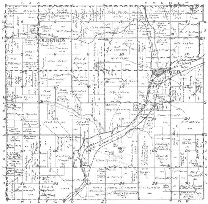
Top image: Map of Stockholm Township in Iowa from the 1920 Atlas of Crawford County, available via Wikimedia Commons.