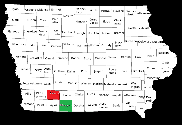
Part 2 in a planned 99-part series profiling each of Iowa’s counties before the 2018 general election. Last week’s post on Adams County is here. -promoted by desmoinesdem
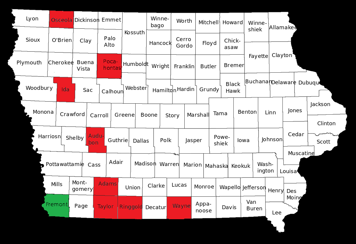
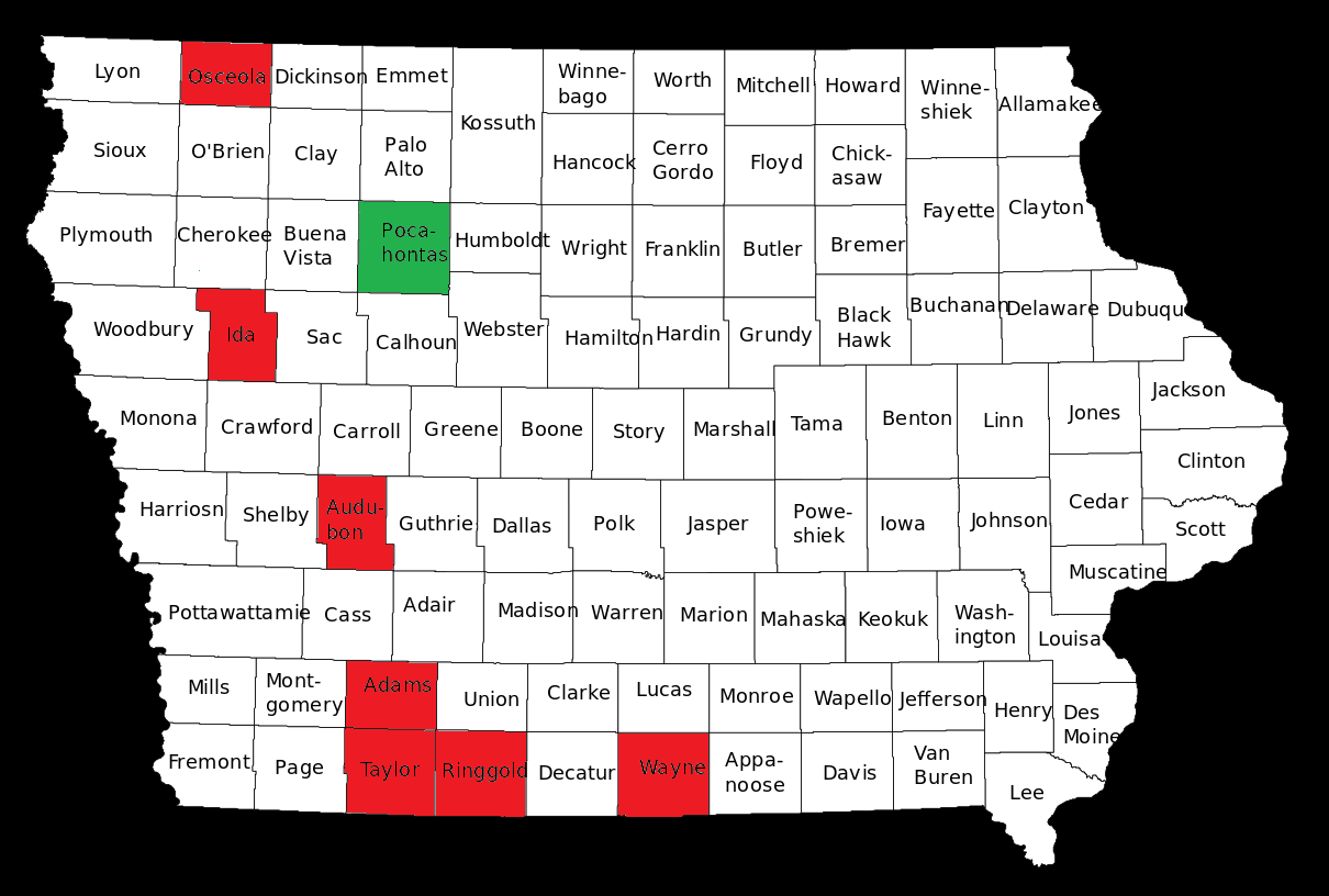
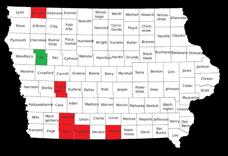
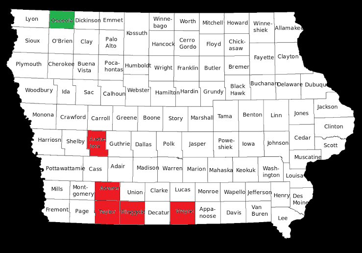
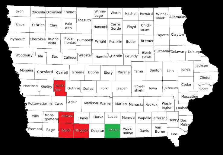
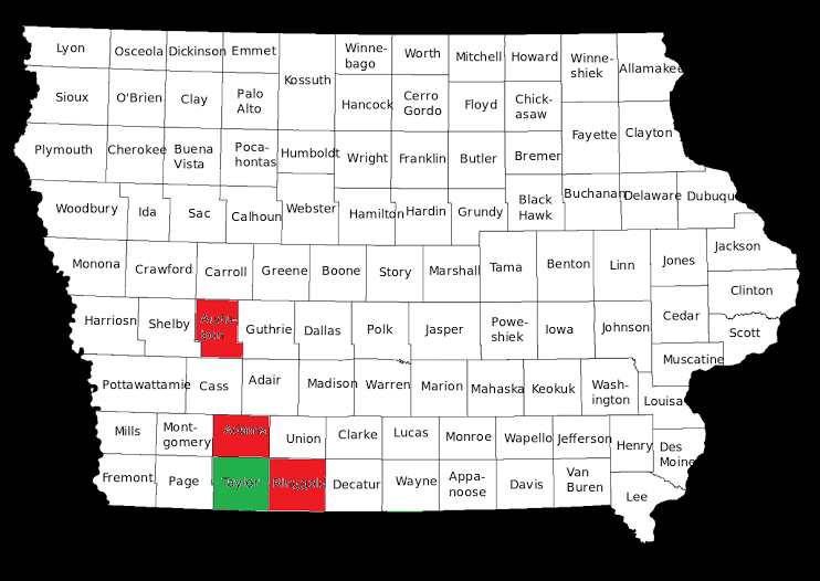
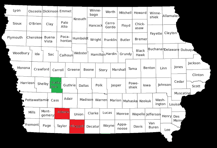
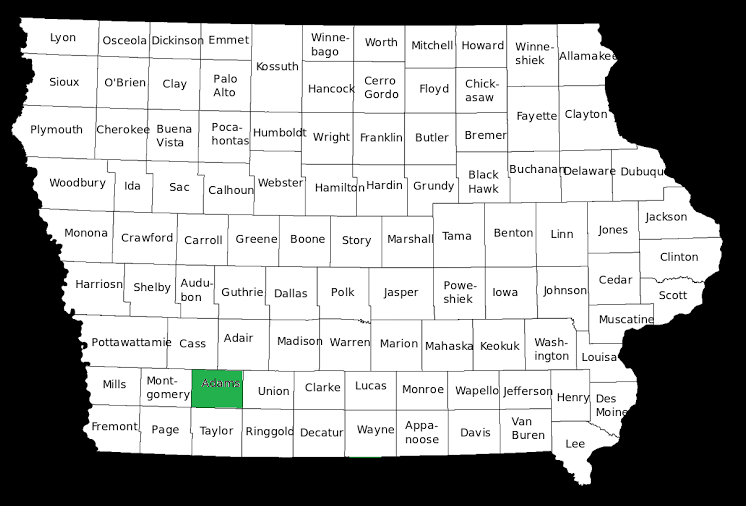
This week I will review our second smallest county in terms of population, Ringgold County.
The 2010 census found 5,131 people living in the entire 539 square miles that are within Ringgold County. Ringgold County is located south and west of Des Moines. According to Google Maps, the county seat of Ringgold County, Mounty Ayr, is 89.2 road miles from the Iowa State Capitol building in Des Moines. Ringgold County was founded in 1847 when it was split from Des Moines County. The highest population in the county was 15,325 in the 1900 census. Ringgold County has lost population in every census since that time except for less than 1% increases from the previous census in the 1920 and 2000 censuses.
The racial makeup of the county in the 2010 census was 99.07% White, 0.11% Black or African American, 0.22% Native American, 0.16% Asian, 0.02% from other races, and 0.42% from two or more races. 0.24% of the population were Hispanic or Latino of any race. An extremely non-diverse county in terms of race.
14.3 percent of the population live in households with income at or below the poverty level. The per capita income was estimated at $29,468 which ranks 93rd of 99 in counties in Iowa. Ringgold County had the 12th lowest unemployment rate in 2010, 4.7%. (As of November 2016 the unemployment rate was 2.7%.) In terms of educational attainment, Ringgold County has the 21st highest rate of residents having received a bachelors degree or higher, 20.8 percent.
Ringgold County is currently a part of the 3rd congressional district, represented by David Young-R since 2015. Currently Ringgold County is a part of the 12th District in the Iowa Senate represented by Mark Costello-R and part of the 24th District in the Iowa House of Representatives represented by Cecile Dolecheck-R.
Recent election results are after the jump.
Continue Reading...